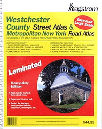
Hagstrom Westchester County & Metro New York Covering a 75 Mile Radius from Midtown Manhattan
2002 · 156 pages
About this book
This handy laminated road atlas of Westchester County has a full street index in the back, and shows all highways, railroad and Path routes, tunnels, airports, hospitals, parks, golf courses and country clubs, cemeteries, and ZIP codes in the area. The Metropolitan New York section of the atlas shows highways and secondary roads, maps of major cities, scenic routes, maps of John F. Kennedy, La Guardia and Newark Airports, mileage charts, and points of interest around the city.
Similar books
Rummaging the shelves…
Reviews
Loading reviews…